GIS Flood Risk Modeling Platform
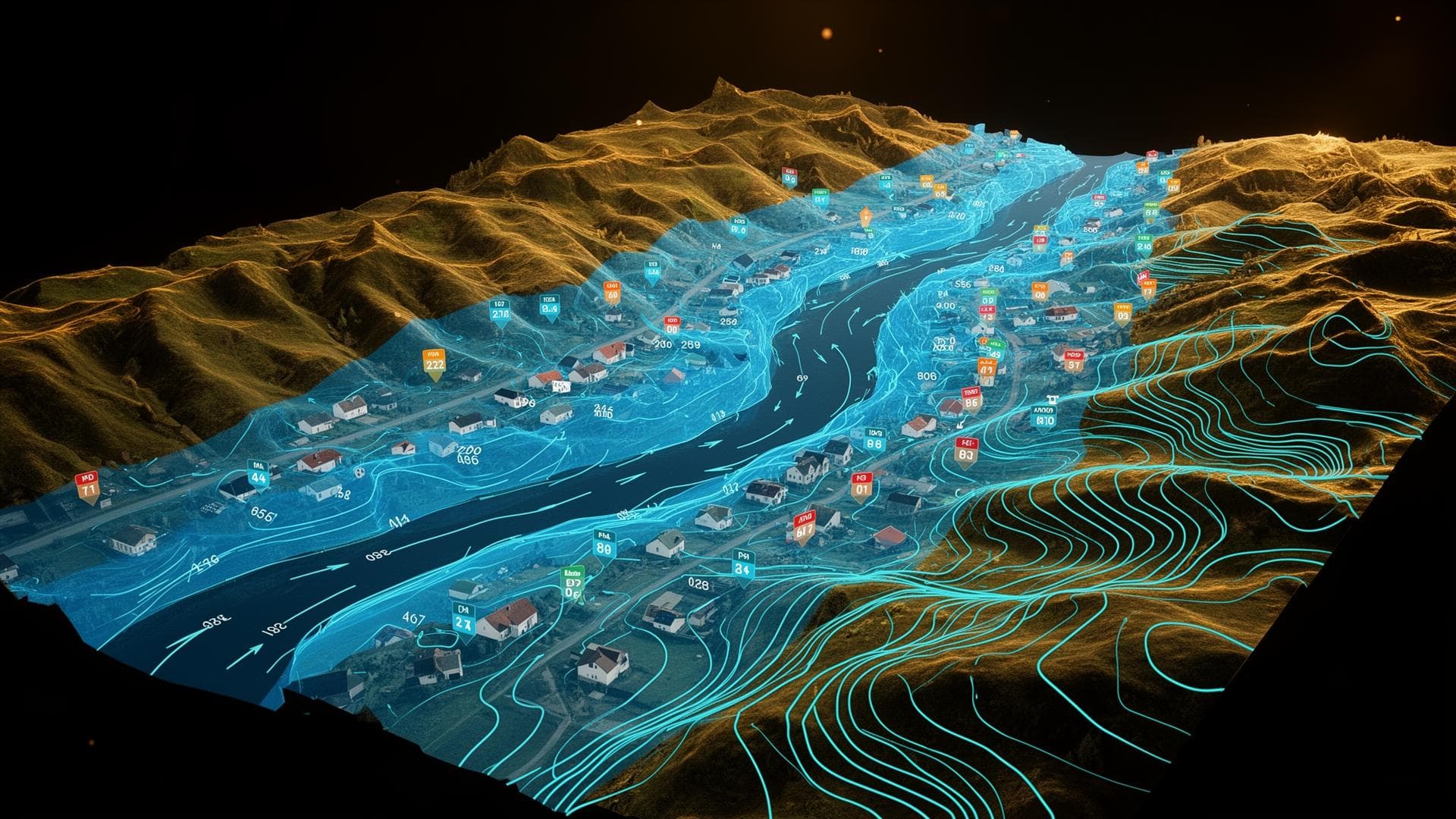
A flood risk platform that fuses LiDAR DEMs with hydrological simulations and ML-based inundation models to produce property-level flood scores at country scale.
LiDAR DEM + hydrology
Input
Country-scale
Coverage
Claims-calibrated
Validation
Problem & use case
Off-the-shelf flood maps were too coarse for property-level pricing and missed pluvial flood signals entirely.
Solution & engineering approach
A pipeline combining LiDAR elevation, hydraulic models, and Random Forest inundation predictors served via GeoPandas + PostGIS.
Architecture & data flow
- 01
Build hydro-conditioned DEM from LiDAR
- 02
Run 1D/2D hydraulic simulations per catchment
- 03
Train Random Forest on simulated + observed events
- 04
Predict inundation depth at property level
- 05
Publish flood scores to underwriting tools
Technology stack
Implementation status
Implemented — LiDAR DEM + Random Forest inundation model serving property-level flood scores